FltPlan Go for Android, & iOS

Offline, In Flight, Free
The FltPlan Go Electronic Flight Bag (EFB) app for pilots brings all of the great FltPlan features and more from the website to your iPad, iPhone, or Android devices.
The free app shows graphical flight plan routes and gives registered users online, offline and in-flight access to NavLogs, Approach Plates, Weather Briefings, Hi-res / Zoomable Sectionals, Victor Low Charts, Jet High Charts, and much more.
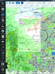
View approach plates over maps with Weather, METARs, and Wind layers. Adjust the transparency for clear viewing of the base map layer. This feature allows for rubber-banding so that the route of flight can be aligned with the approach path.
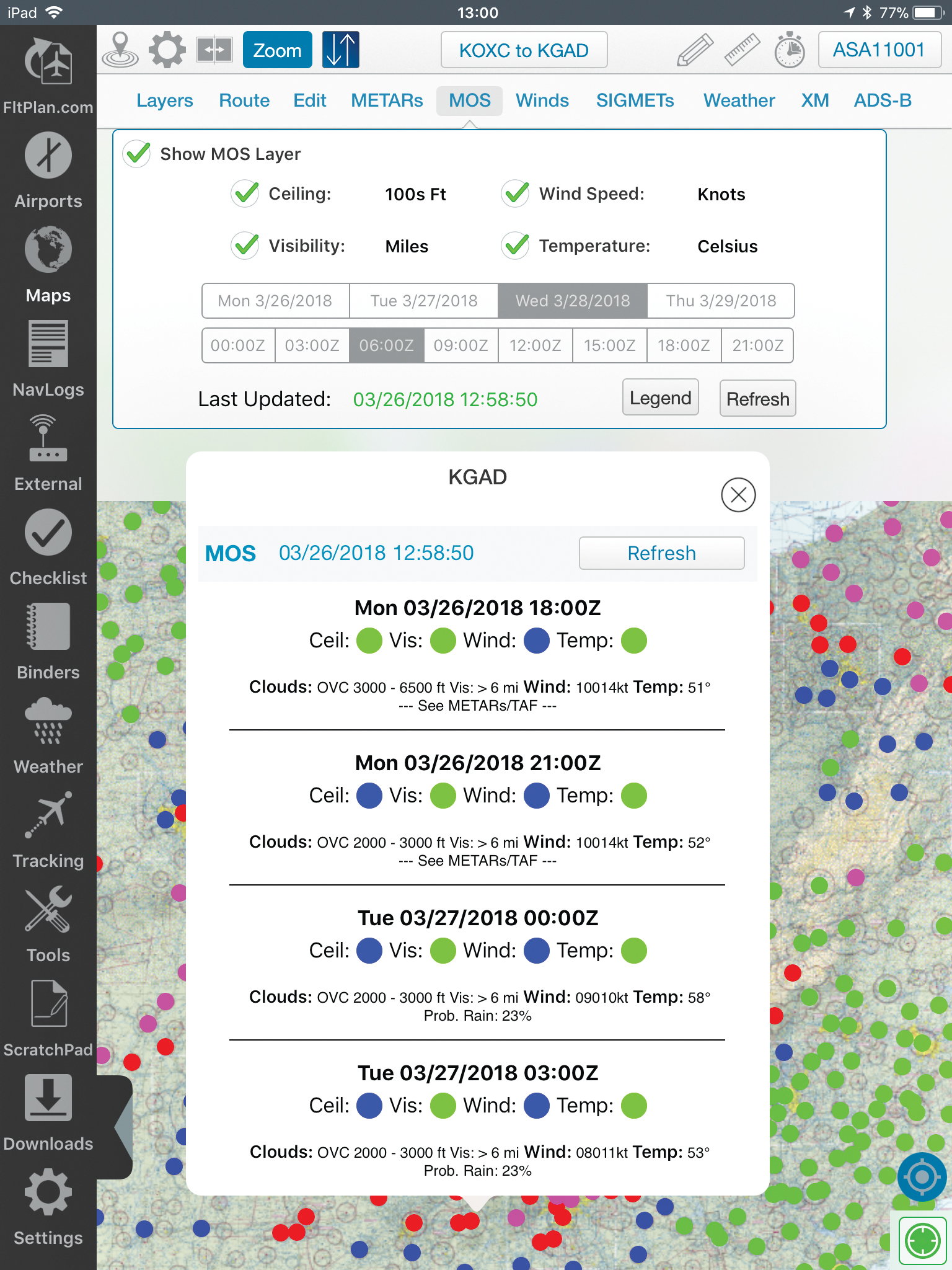
MOS forecasts are available for 2,000-plus airports and provide weather data for up to four days out, presented in 3–hour windows. Your route of flight is displayed, along with a color–coded MOS forecast, for the actual time that you are flying.
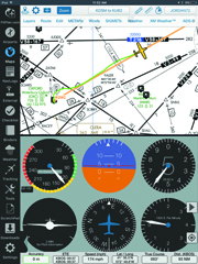
Use the Split Screen feature to view Airport Information, Flight Instruments (AHRS)*, Procedures, NavLogs, Weather, or essential Tools, alongside your selected Maps layer or NavLog.
*AHRS only available for iPad
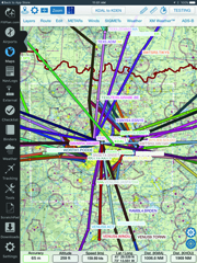
Display SIDs and STARs, with your transitions, along your route.
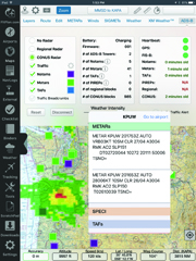
The FltPlan Go app connects easily to most ADS-B receivers and multiple avionics systems, including an array of Garmin® products, to ensure accurate delivery of important weather and flight plan data directly into the cockpit.
Features include:
- Geo-referenced Approach Plates, Taxi Charts, and Airport Diagrams for the U.S. and Canada
- Approach Charts on Maps
- AirDrop
- Custom Waypoints (including CSV, KMZ, and KML imports)
- SIDs and STARs with transitions displayed on route
- AirDrop
- Instrument Panel
- Split Screen (not available for iPhone)
- Auto-syncing of NavLogs, Routes, and Weather
- Airport & FBO Information
- Fuel Prices
- Moving Maps
- NavLogs
- In-flight Weather
- Animated WX
- MOS Weather
- Weight & Balance
- Documents
- Binders
- Flight Tracking
- PDCs
- eLogbook
- Calculators
- Scratchpad
- Aircraft Checklists
- Breadcrumbs with Enhanced Playback
- CAP Grid
- Measure Tool
- Cloud Tops Tool
- Spotlight Integration for iOS 9
- Emailing, Printing, Annotating of NavLogs
- Howgozit
- Transfer routes from AOPA Flight Planner
Connectivity Options:
- NEW! FltPlan Go is now part of the Garmin® Connext™ System, Learn More
Advanced Flight Systems, Aspen Avionics, Avidyne, DAC International, Dynon Avionics, L-3 Lynx NGT-9000 - NEW! Garmin, Learn More
L-3 Lynx, Dual XGPS 170/190, Dynon Sky2, Echo UTC, FlightBox, Flight Data Systems Pathfinder, Freeflight, iLevil SW, pingBuddy, Skyguard TWS, Stratux - XM Satellite Weather™
- NEW! Garmin Pilot, Learn More
Satcom Direct, Jeppesen Mobile FD 2.7 - X-Plane Simulator, FSX & Prepar3D GPS
- Send your routes to FltPlan Go from AOPA Flight Planner